InishTurk Page | Oileáin
The Harbour area of InishTurk with the main cluster of houses on the island and a beach at the lower left.
A selection of InishTurk stone walls. A working currach in the main harbour. The beach beside the harbour. A selection of InishTurk stone walls.
Sea Water at the pier in the harbour at InishTurk's smallboat harbour near the cluster of houses 1km or so west of the main harbour. A selection of InishTurk gates.
Currachs at anchor off the main harbour. The main island harbour Leaving Inishturk
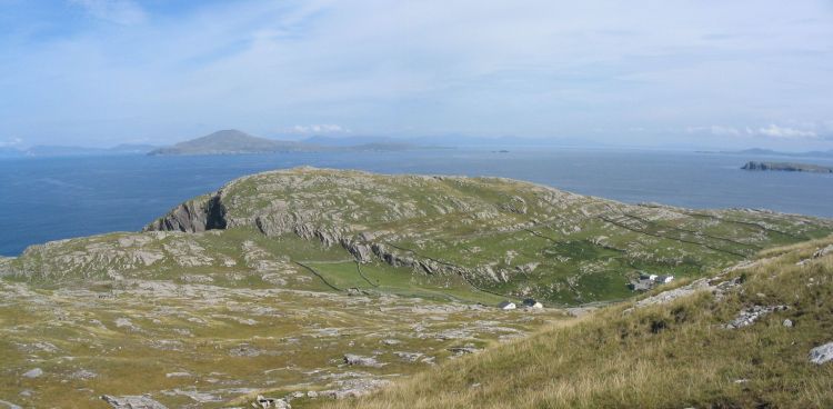
A view of the north eastern end fo the island. The first houses fo the cluster at the island's main harbour can be seen at the right. To the left are sheer cliffs. In the background the island to the left is Clare Island and the partly visible island to the right is Caher.
The island's bigger beach near the community center. Cliffs on the north coast of the island. These cliffs are at the notch in the panorama photograph above. A view of Clare Island to the north of InishTurk The island's bigger beach near the community center with Mweelrea, the highest mountain in Connacht, visible on the mainland.
Old 'lazy beds' for growing potatoes
The main harbour on the island A traditional sailing hooker with Croagh Patrick (The Reek) in the background Boats in the island's main harbour Boats in the island's main harbour
The currach harbour about 1km west of the main harbour. The narrow entrance (with a streelight) is visible as a gap in the rocks to the upper left of the photograph. Currachs in the small harbour about 1km west of the main harbour.
Currachs in the small harbour about 1km west of the main harbour. The island graveyard
The rocks on the right are at the beach near the main harbour and those on the left are in the hills on the northern side of the island.
At 191M this is the highest point on InishTurk
Lough Namucka at the Western end of InishTurk