Breeding Birds
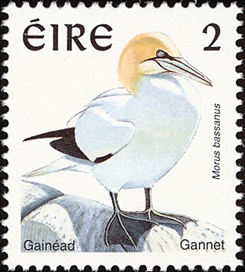
The Gannet colony is one of five in the country and the only one on the east coast. It is also notable that it has only been established as recently as the late 1980s.| Bird | Number |
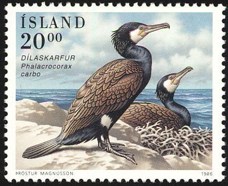
| Gannet - More | 202 pairs |
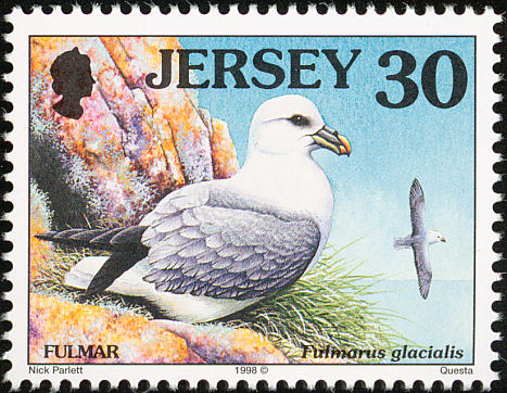
| Fulmar | 70 pairs |
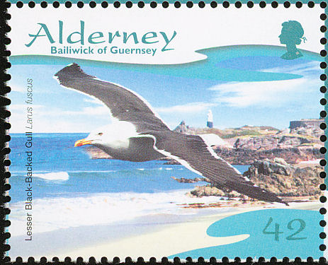
| Lesser Black-backed Gull | 1 pair |
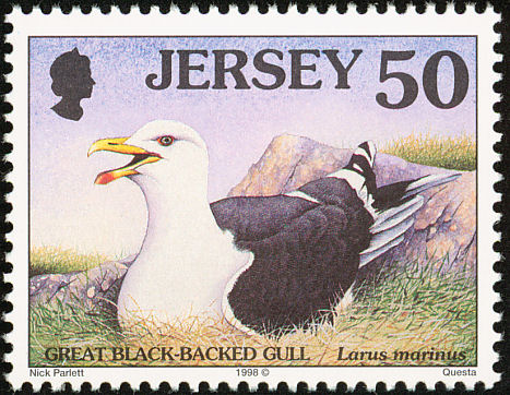
| Great Black-backed Gull | 110 pairs |
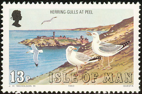
| Herring Gull | 250 pairs |
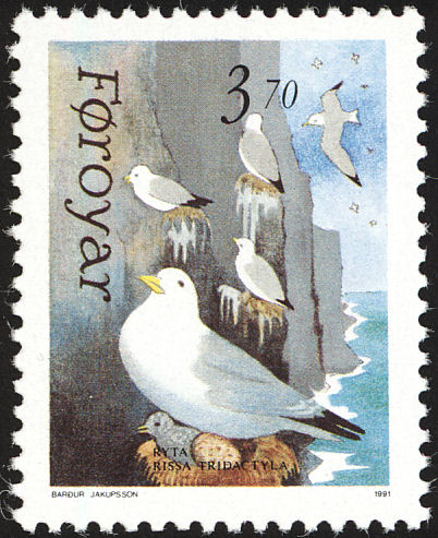
| Kittiwake | 1,024 pairs |
| Cormorant | 438 pairs |
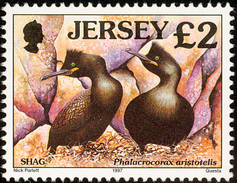
| Shag | 39 pairs |
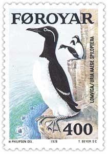
| Guillemot | 2,948 individuals |
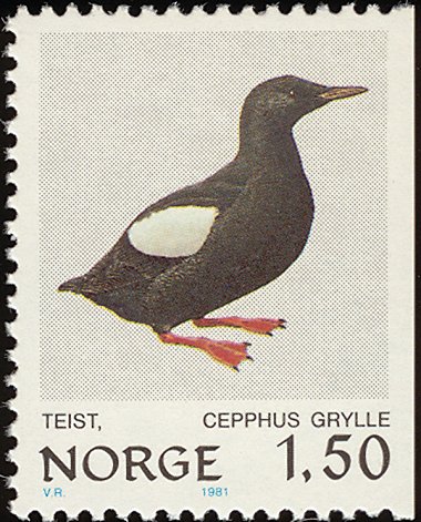
| Black Guillemot | 15 individuals |
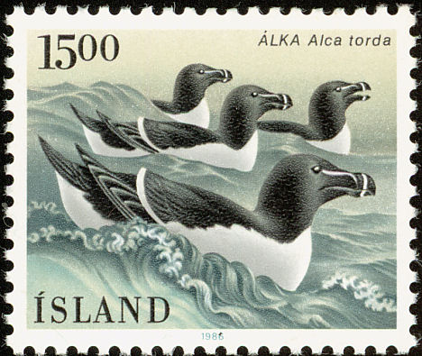
| Razorbill | 686 individuals |
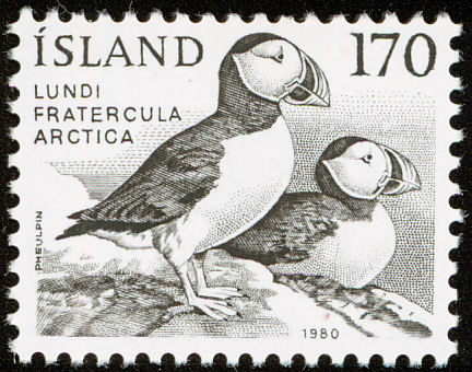
| Puffin - More | 20 individuals |
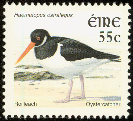
| Oystercatcher | 'Several' |
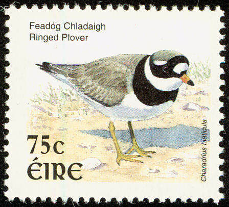
| Ringed Plover | 'Several' |
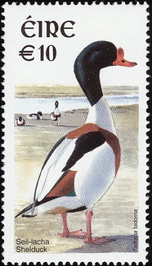
| Shelduck | 'Several' |
| Source NPWS website. The figures indicate the scale of the poplulation. | |
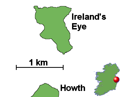
Ireland's Eye is an uninhabited island of 24 hectares about 1 km north of Howth in Dublin. The island rocks, Cambrian greywhackes and quartzites, form cliffs, reaching 69 m, in height, along the northern and eastern sides of the island. At the eastern side of the cliffs there is a tall stack which is completely cut off from the main island at mid to high tide. This stack is used as a nesting place by breeding seabirds.
On the western side of the island there is a sandy beach at Carrigeen Bay while a shingle beach extends from Carrigeen to Thulla Rocks to the south of the island.
Around 700 AD three sons of Nessan established a monastery on Ireland's Eye. The church became known as Cill Mac Nessáin from which the island got its name in Irish. The 'Garland of Howth' is a fragment of a medieval Irish gospel book, now in Trinity College Dublin. It was written at the monastery on Ireland's Eye and is believed to date from the late ninth to early tenth centuries. The "garland" of its title is taken from a corrupted English form of Ceithre Leabhair, Gaelic for 'four books', i.e., a gospel. The script is Irish semi-uncial with Irish illumination of poor quality. Cill Mac Nessan ceased to function as a church in the 13th century.
